300 - 20º andar, Vitoria, Brazil, 29050-545
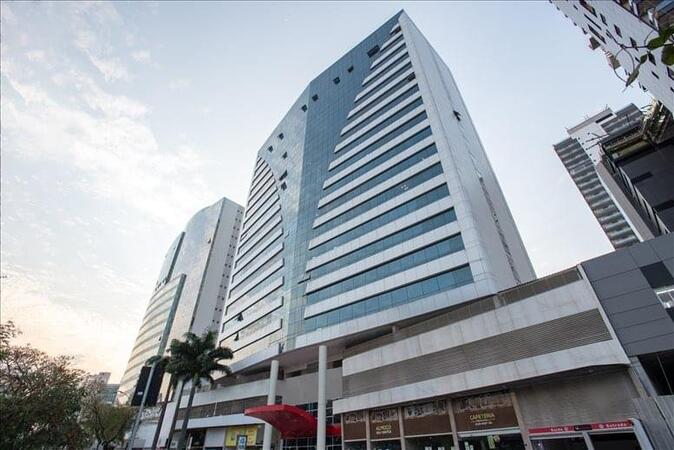
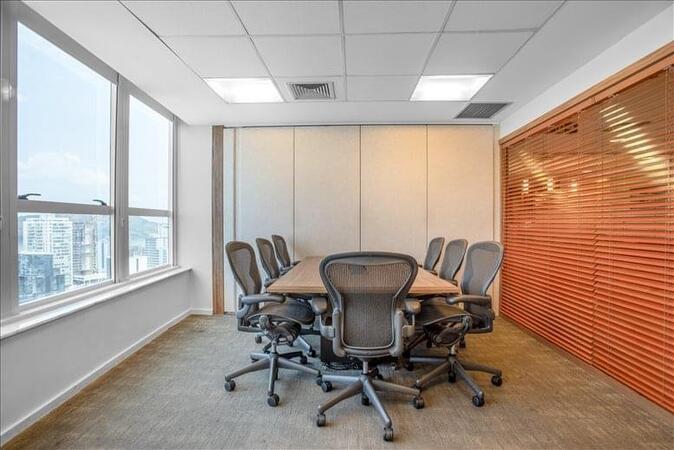
The Vitoria Center offers spectacular 360-degree views of one of Brazil's most important cities, including the waters of Vitoria Bay and the landmark Third Bridge. It is located on the 20th floor of the stunning, high-profile Work Center Office Building, which features beautiful and modern architecture, like its instantly recognizable V-shaped blue-glass facade. The center is right at the heart of Enseada do Sua, the financial and commercial district of Vitoria, and is just walking distance from the best shopping and cultural attractions. Vitoria's two ports are among the most important in the country, exporting iron and steel among many other goods, but the city also has a thriving services sector, beaches that bring tourists and, in recent years, a growing oil industry too. Vitoria is an hour by plane along the Atlantic coast from Rio de Janeiro and Sao Paulo and the city's airport is a short drive from the Center.